Climate Computer
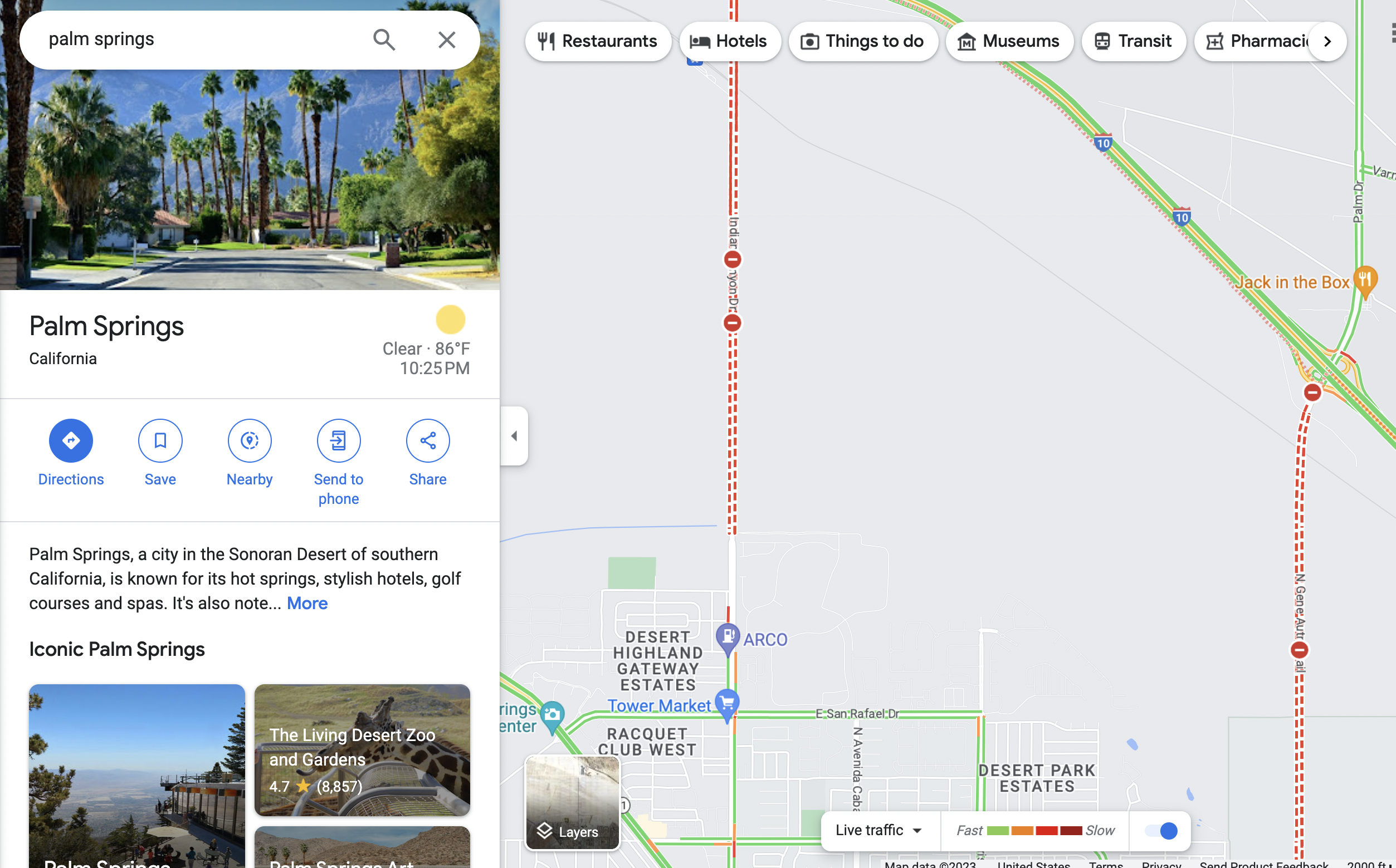
There's a google map of wildfires & smoke

There should be google maps of areas that have just flooded.
There aren't yet.. But if you zoom into an area, you can see road closures from flooding.

There might not be enough imagery or metered data to determine flooded areas.
Emergency services might consider that information private.
But a rough extrapolation is possible, with this and topological data.
That would possibly be useful to the public, even if it needs to be verified.
It could be crowd-verified, with an upload of photos with lat-longs. This could be done globally. Here. For all disasters.
And all climate emergency mitigation projects.
We know that cities need more plants.
It's common sense.
but we need to show it's true.
Let's start with back-of-the-envelope initial computations of the climate value of planting
available land ... city strips, front lawns, marginalized land around infrastructure, etc.
City Strips
On a typical residential block, a minimum 5-foot-wide swath of land sits at the curbside.
If these are already planted with trees or shrubs, that's great.
But most of it is grass, mulch, gravel, or dirt.
Let's say that these blocks are 400 ft on a side.
There are four of them on a block.
That's 8,000 square feet of land, or about 1/5 of an acre.
The carbon sequestration of newly afforested land is 2 megatons per acre for the first 15 years of growth.
(It gets higher the older a tree is. Protect your old trees!)
That's ~25,000 tons of sequestration per city block per year.
The smallest neighborhood association in Eugene, Oregon represents 50 square blocks, or 130 acres.
Most of those city strips are not planted, but let's say 50% of the land is aavailable for planting
more trees, such as food trees (figs, apples, chestnuts, walnuts, hazelnuts, cherries, plums, etc.)
(Note that this production adds to the carbon value of planting, because less food is transported/imported.)
That's an additional 1.25 megatons of carbon sequestered every year.
Scale
That city's climate plan calls for a reduction each year of 790,000 megatons of emmissions.
The city's area is 28,295 acres.
That means 250 megatons of annual sequestration is possible by planting marginal land.
That helps. But not nearly as much as if everyone in the city stopped driving cars.
And if we used the space dedicated to streets and parking structures to planting.
5 tons per car per year, against 170,000 cars eliminated, is about 1 megaton.
But planting the freed 14,000 acres. That's 28,000 megatons per year!
That leaves 760,000 megatons per year ... despite their destructuve nature, local transportation
transformation is only part of the solution.